

Delivering expert mineral and coal exploration support with advanced geophysical surveying, targeted subsurface analysis, and sustainable resource planning.
Discuss your project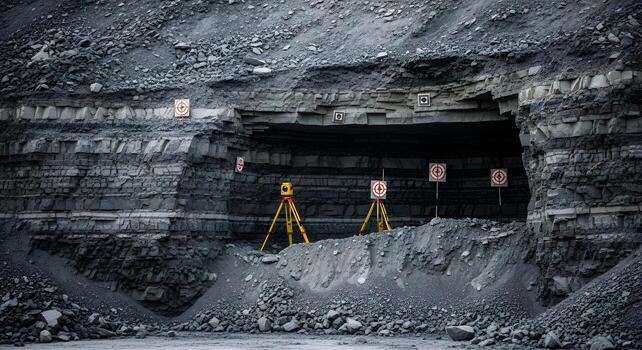
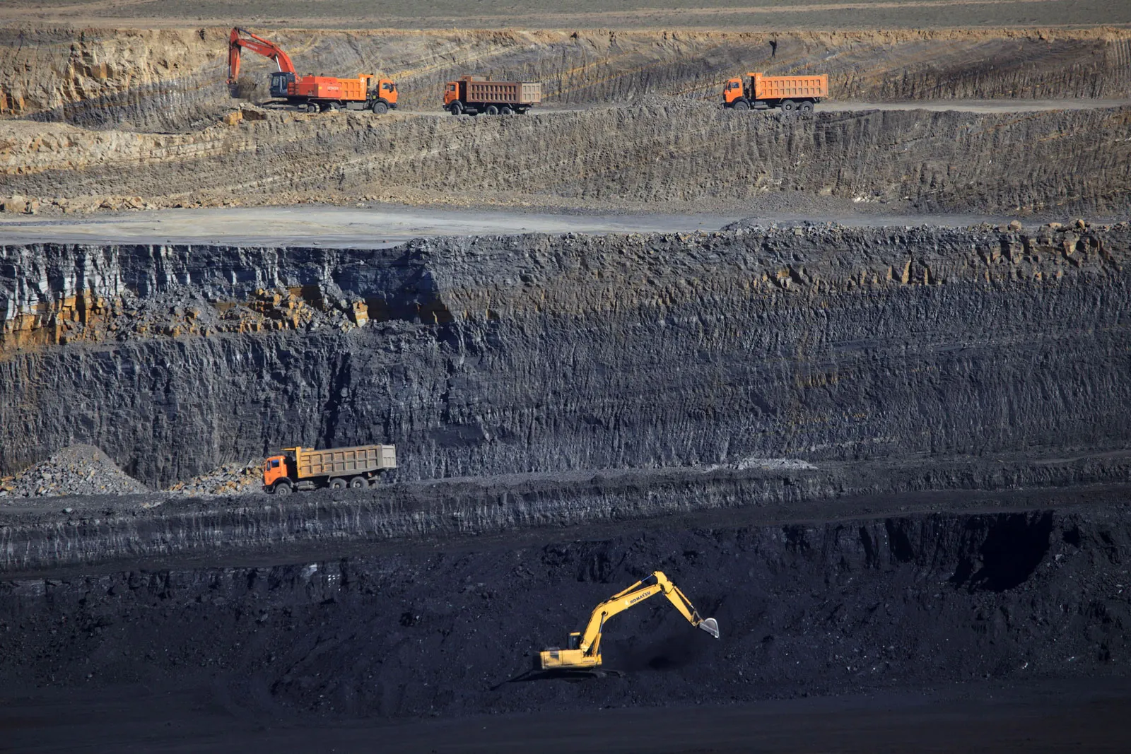
Geophysical surveys are invaluable for mineral and coal exploration, providing non-invasive methods to detect subsurface anomalies, map geological structures, and identify resource-rich zones. Techniques like Gravity, Magnetics, Resistivity, Induced Polarization (IP), and Electromagnetic surveys help uncover hidden ore bodies, assess coal seams, and delineate fault structures. These insights reduce exploration risks, optimize drilling programs, and improve resource estimation accuracy.
Celestial Horizon excels in providing both technical and financial feasibility for exploration campaigns by seamlessly integrating geophysical data with geological insights. This comprehensive approach enables precise subsurface mapping and accurate resource estimation, ensuring optimal exploration strategies. By analysing geophysical anomalies alongside geological formations, Celestial Horizon enhances project risk assessment, identifies cost-effective drilling targets, and supports informed decision-making. This integration of data facilitates detailed project evaluations, maximizes resource potential, and aligns with financial objectives, ensuring that exploration campaigns are not only scientifically sound but also economically viable, driving successful project execution.
Digitizing geophysical data transforms raw measurements into structured formats that are easier to analyse, store, and retrieve. This enables seamless integration of diverse datasets, enhanced visualization through 2D and 3D models, and efficient collaboration. Real-time updates and cloud-based storage streamline project workflows, ensuring data integrity and accessibility for stakeholders.
Programs designed around specific exploration goals incorporating advanced tools for acquisition, processing, and interpretation is a key expertise area of Celestial Horizon. Our experienced professionals enable detailed analysis, project evaluations, and high-level decision-making reporting by integration of geophysical insights with geological and economic data, these programs support resource estimation, feasibility studies, and strategic planning, driving project success and cost efficiency for our esteemed Clients.