Precision Geophysical Surveys for Smarter Exploration

Celestial Horizon delivers ground and drone-based geophysical surveys that turn complex subsurface data into clear, actionable project insight.

Explore our expertise
Icon
Exploration Intelligence

Advanced survey solutions built for accuracy, reliability, and confident decision-making.

About Image
About Image
About Image
More about us
Ground & Drone/UAV Surveys
Data Management & Reports
Processing & Interpretation
Our Services

End-to-end geophysical survey solutions powered by advanced technology, delivering precise data and actionable insights.

Tab Image

Ground Geophysical Survey

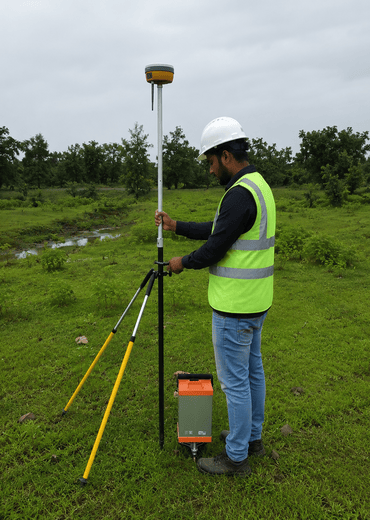
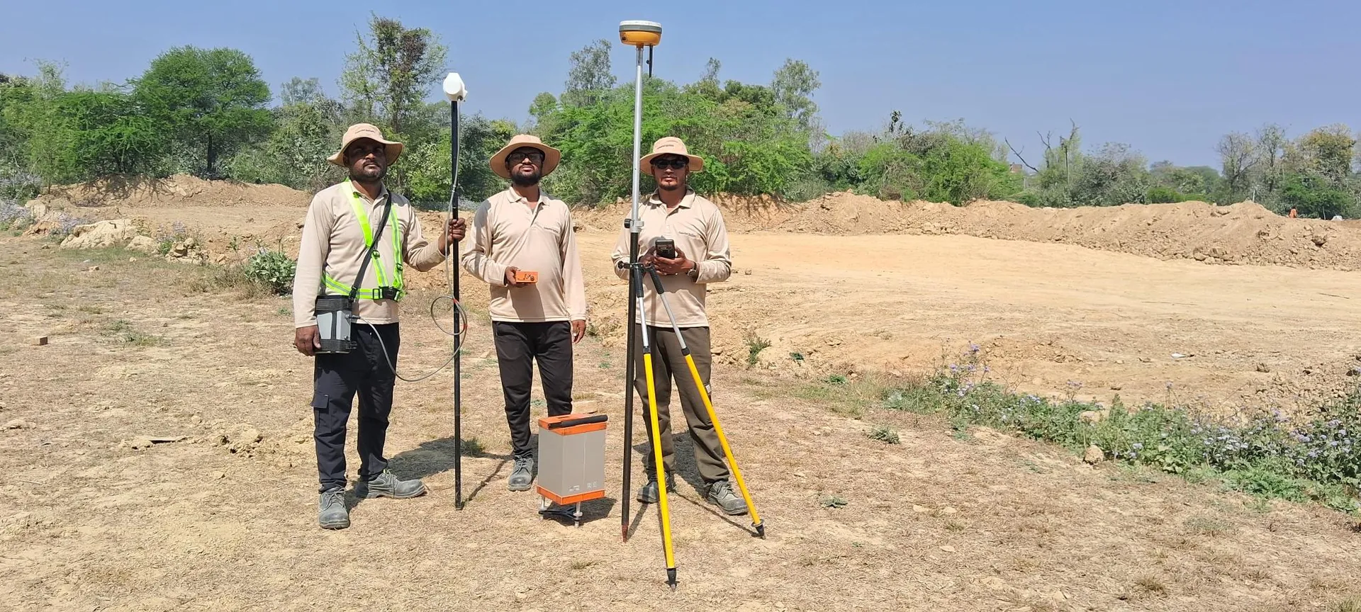
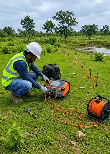
Comprehensive ground-based geophysical solutions including Gravity, Magnetic, Resistivity, Induced Polarization (IP), Self-Potential (SP), and Electromagnetic surveys tailored to meet your unique exploration requirements.

Icon
Multi-scale Gravity surveys from Microgravity to Regional (0.5M – 10,000M spacing)
Icon
Magnetic surveys detecting induced and remanent magnetism in subsurface materials
Icon
Resistivity, IP, SP, and TDEM for mineral exploration and structural mapping
Explore service
Image

Drone Geophysical Survey

Fast, efficient UAV-based magnetic and topography surveys delivering high-resolution data across complex terrain with centimetre-level GNSS accuracy and reduced field time.
Icon
Drone-based Magnetic surveys for efficient exploration coverage
Icon
Multi-constellation GNSS receivers (GPS, GLONASS, BEIDOU, GALILEO, QZSS)
Icon
Topography and elevation data with superior RTK and PPK accuracy
Explore service
Image

Processing & Interpretation

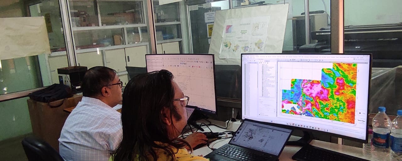
Expert interpretation combining advanced analytical techniques with state-of-the-art software to transform raw geophysical data into actionable insights for exploration and resource evaluation.
Icon
Expert geophysicist interpretation with site characterization and risk assessment
Icon
Advanced software suites (Oasis Montaj, ArcGIS Pro, QGIS, Surfer) for 2D and 3D modelling
Icon
Data digitization with structured formats for seamless integration and accessibility
Explore service
Data Management & Reports

Data Management & Reports

Comprehensive data management, reporting, and interpretation solutions supporting acquisition, processing, and interpretation (API) workflows with integrated 2D and 3D geophysical analysis tailored to project-specific exploration objectives.
Icon
Tailored solutions for site characterization, risk assessment, and resource exploration
Icon
Advanced API workflows integrating acquisition, processing, and interpretation datasets
Icon
Oasis Montaj, Intrepid GeoModeller, ArcGIS Pro, QGIS, and Surfer for 2D and 3D analysis
Explore service
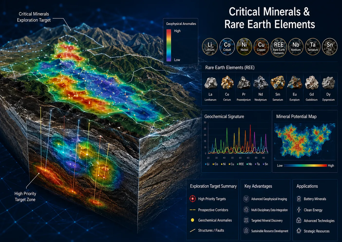
Critical Mineral & Rare Earth Elements

Critical Mineral & Rare Earth Elements

Specialized geophysical survey solutions for Critical Mineral and Rare Earth Element (REE) exploration using integrated ground and drone-based technologies to identify subsurface structures, alteration zones, intrusive bodies, and concealed mineralized systems.
Icon
Gravity, Ground & Drone Magnetic, DroneMag, SP, IP, and Resistivity surveys for strategic mineral exploration
Icon
DGPS, elevation mapping, geological data integration, and GIS-based interpretation across complex terrains
Icon
QA/QC-driven processing and modelling for lithium, graphite, nickel, cobalt, copper, uranium, and REE targets
Explore service
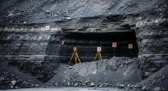
Mineral & Coal Exploration

Mineral & Coal Exploration

Integrated geophysical solutions for mineral and coal exploration utilizing Gravity, Magnetic, Resistivity, Induced Polarization (IP), and Electromagnetic surveys to detect subsurface anomalies, map geological structures, and identify resource-rich zones with improved exploration accuracy and reduced operational risk.

Icon
Gravity, Magnetics, Resistivity, IP, and Electromagnetic surveys for ore body and coal seam delineation
Icon
Integrated geological and geophysical interpretation for technical and financial feasibility assessment
Icon
Data digitization, 2D & 3D modelling, and customized exploration management programs for strategic planning
Explore service
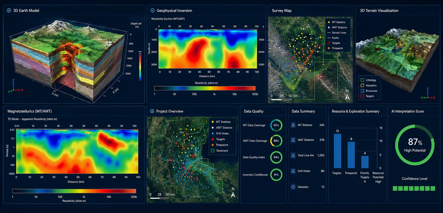
Magnetotellurics (MT/AMT) Surveys

Magnetotellurics (MT/AMT) Surveys

Advanced Magnetotellurics (MT) and Audio-frequency Magnetotellurics (AMT) surveys utilizing naturally occurring electromagnetic fields to image deep geological structures, resistivity variations, and concealed mineral systems across regional and detailed exploration scales.
Icon
MT and AMT surveys for deep subsurface investigation from approximately 50 m to several kilometres
Icon
Identification of conductive mineral targets including copper, gold, silver, lithium, and uranium deposits
Icon
Structural mapping of faults, fractures, folds, and resistivity contrasts for drilling program optimisation
Explore service
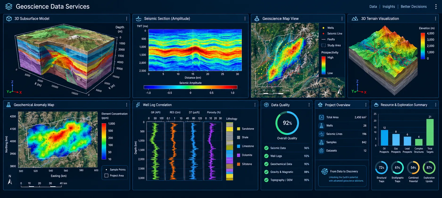
Geoscience Data Services

Geoscience Data Services

Integration of Geological, Geophysical, Geochemical, and Remote Sensing datasets into AI and Machine Learning platforms through structured, standardized, and analysis-ready data pipelines that support advanced analytics, predictive modelling, and target generation.

Icon
Digitization of legacy maps, reports, and borehole logs into structured, QA/QC-validated digital databases
Icon
Multi-source data integration into unified spatial databases for advanced analytics and modelling
Icon
AI/ML ready datasets for predictive modelling, target generation, and anomaly detection
Explore service
Why choose us

Why Celestial Horizon is the trusted choice for geophysical surveys

Advanced survey technology

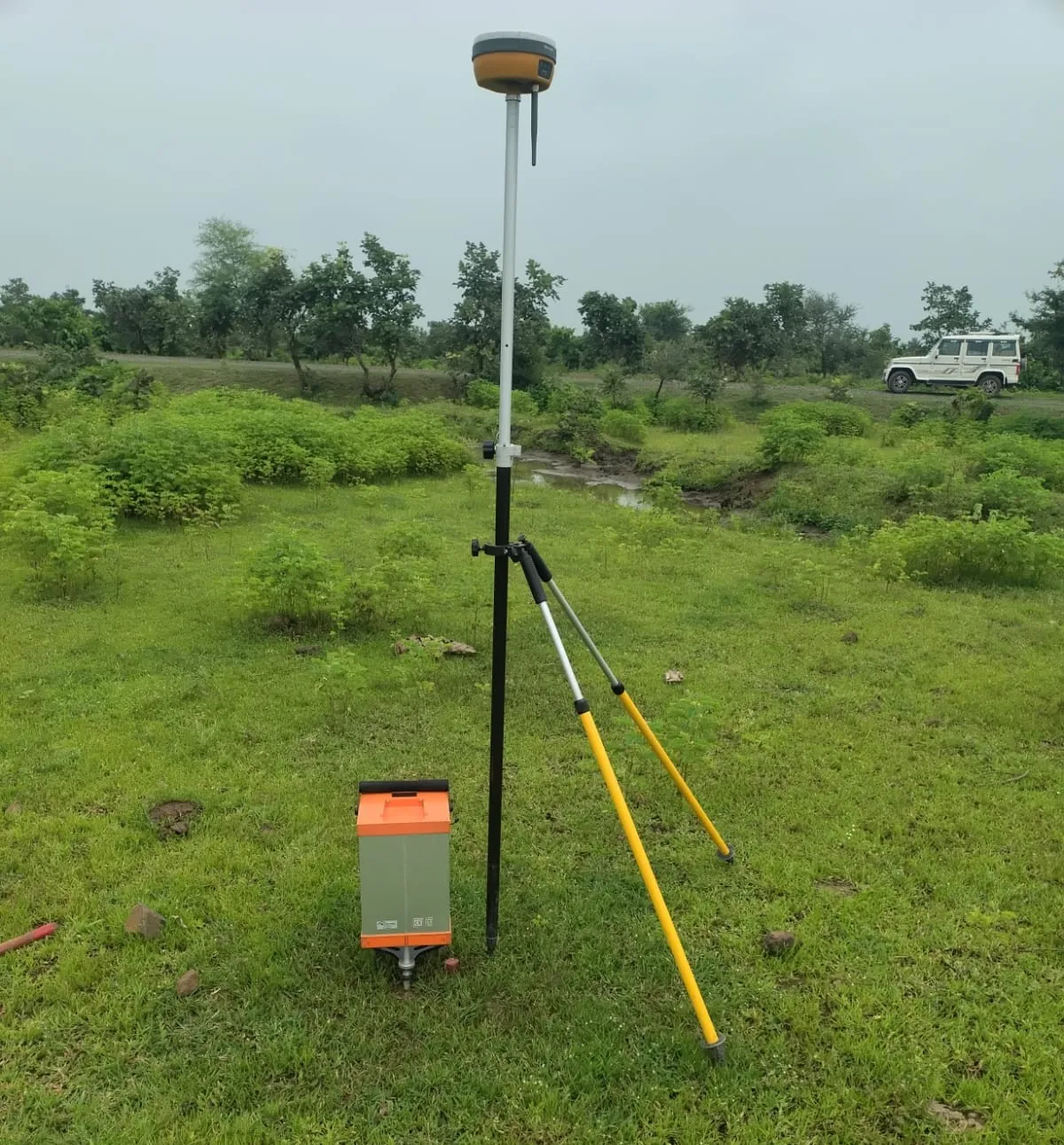
We use high-precision instruments, UAV systems, GNSS/RTK receivers, and proven processing software to deliver dependable survey outputs.

Project-specific solutions

Every program is shaped around your geology, terrain, data requirements, and exploration objectives.

Quality-led execution

Our team focuses on safety, data quality, timely delivery, and interpretation that supports real project decisions.
Capability snapshot

Built for accurate fieldwork, clear data, and dependable project outcomes.

Quality management certification
Icon

ISO 9001

Information security certification
Icon

ISO-IEC 27001

Business registration recognition
Icon

UDYAM

Startup ecosystem recognition
Icon

STARTUP