

Accurate ground-based geophysical surveys for subsurface mapping, mineral targeting, and informed exploration decisions.
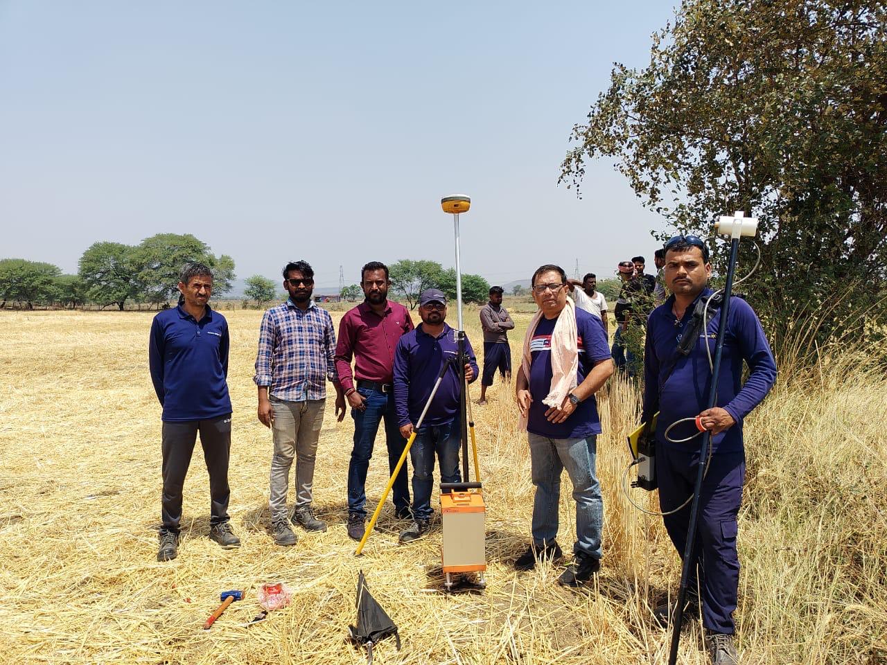
The gravity method is a non-invasive geophysical technique that measures variations in the Earth's gravitational field at specific locations. These measurements are processed and analysed to detect subtle changes caused by lateral density variations in the subsurface. Gravity data enables scientists to infer the Earth's density structure, supporting applications ranging from microgravity surveys for voids to large-scale regional surveys for resource exploration or studying the Earth's core.
At Celestial Horizon, we specialize in geophysical surveys at all scales, from micro to regional operating on multiple spacings, depending on the campaign scope:
| Microgravity | Detailed | Semi Regional | Regional |
|---|---|---|---|
| 0.5M - 10M | 10M - 100M | 100M - 1000M | 1000M - 10,000M |
Magnetic surveys, like gravity surveys, are passive techniques involving precise measurements of the Earth's magnetic field, including total magnetic intensity and vertical gradient. Magnetic anomalies result from induced or remanent magnetism in subsurface materials. Induced anomalies occur when ferrous bodies are magnetized by the Earth's field. The anomaly's shape, size, depth, and magnetic susceptibility depend on the body's characteristics and the survey area's magnetic field intensity and inclination. These surveys provide valuable insights into subsurface structures and resource exploration.
Celestial Horizon offers comprehensive solutions for ground geophysical surveys, employing various techniques like Resistivity, Induced Polarization (IP), Self Potential (SP), Electromagnetics and Time-Domain Electromagnetics (TDEM). We utilize conventional and advanced IP arrays to detect disseminated sulphides, veinlets, and massive sulphide deposits, delivering precise results for mineral exploration.
Using resistivity and TDEM, we accurately map subsurface conductivity contrasts, while SP identifies natural electrochemical anomalies. These techniques are tailored to deliver high-resolution insights, optimizing resource exploration and decision-making.
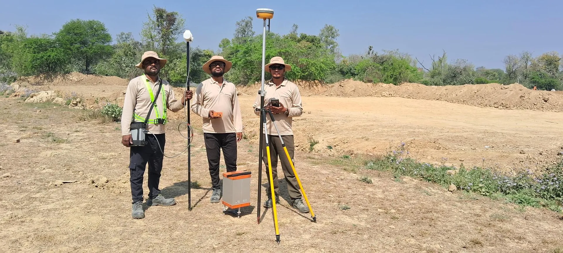
Elevation and positioning surveys are vital for accurate exploration planning, yet elevation control is often overlooked. In challenging environments such as hilly terrains or areas under dense canopy, GNSS accuracy becomes crucial. At Celestial Horizon, we leverage advanced GNSS technology and years of expertise to deliver centimetre-level accuracy through a combination of real-time and post-processed kinematic surveys.
Our GNSS receivers track all available satellite constellations, including GPS, GLONASS, BEIDOU, GALILEO, and QZSS. The integration of additional signals, particularly BEIDOU, enhances performance by increasing observable satellites (over 30), improving spatial distribution, and reducing dilution of precision (DOP). This results in superior RTK and PPK accuracy, faster data acquisition, and reduced station occupation times.
With a diverse range of receivers tailored to specific survey conditions, we ensure reliable, high-precision GNSS solutions for all exploration and geophysical survey needs.