

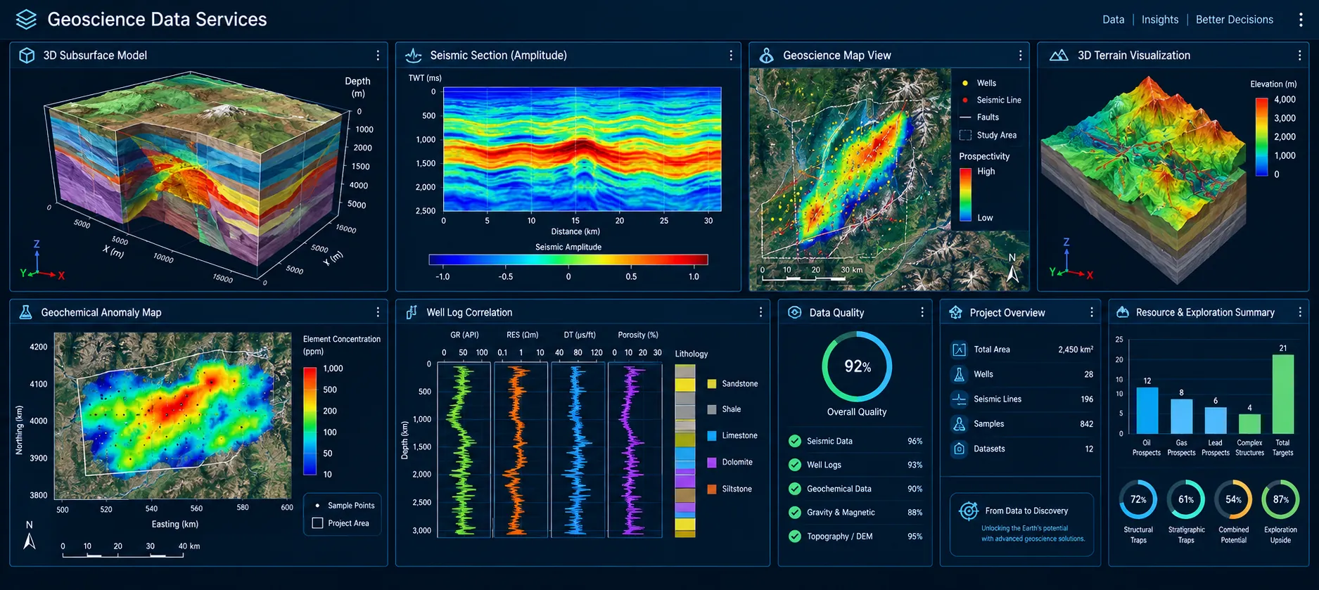
Turning Geological, Geophysical, Geochemical, and Remote Sensing datasets into structured, analysis-ready inputs for AI and Machine Learning.
Celestial Horizon possesses the expertise to integrate Geological, Geophysical, Geochemical, and Remote Sensing datasets into AI and Machine Learning (AI/ML) platforms. We develop structured, standardized, and analysis-ready data pipelines that enable advanced analytics, predictive modelling, target generation, and intelligent decision support.
By combining domain knowledge with modern data engineering practices, we help organizations unlock the full value of their multi-disciplinary geoscientific data for exploration and resource evaluation.
Celestial Horizon provides end-to-end AI/ML data integration services for multi-disciplinary geoscientific datasets, enabling organizations to build reliable, analysis-ready data ecosystems.
Collection and consolidation of Geological, Geophysical, Geochemical, Remote Sensing, GIS, and ancillary datasets from government repositories, digital portals, institutional archives, and client databases.
Conversion of legacy maps, reports, field records, borehole logs, and analogue documents into structured digital databases compatible with AI/ML and GIS platforms.
Data cleaning, validation, normalization, QA/QC, coordinate transformation, reprojection, resampling, metadata generation, and schema harmonization to ensure consistency and integrity.
Integration of Geological, Geophysical, Geochemical, Remote Sensing, Topographic, and GIS datasets into unified spatial databases for advanced analytics and modelling.
Preparation of structured datasets for supervised and unsupervised machine learning, predictive analytics, target generation, anomaly detection, and model training.
Geological and geophysical interpretation, remote sensing analysis, feature extraction, anomaly mapping, terrain assessment, and spatial pattern recognition using GIS and AI-assisted workflows.
Preparation of representative training, validation, and testing datasets for AI model development, proof-of-concept studies, algorithm benchmarking, and software evaluation.
Development of standardized data repositories with comprehensive metadata, documentation, version control, and delivery in client-specified formats compatible with leading GIS, database, and AI/ML platforms.
Celestial Horizon bridges geoscience and artificial intelligence by transforming diverse datasets into intelligent, interoperable, and decision-ready information for next-generation exploration and earth science applications.