
About Image

Data Management & Reports

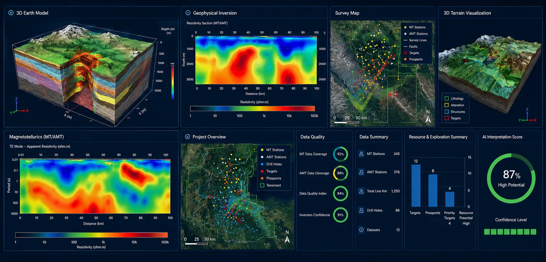
Centralise your geophysical data, streamline reporting, and unlock better decisions with Celestial Horizon's tailored data management services.

Image

Data Management & Reports

Tailored Solutions

Celestial Horizon's experienced geophysicists apply advanced analytical techniques to interpret subsurface data. From identifying geological features to evaluating risks, our tailored interpretations align with your project's specific objectives.

Software Suites for API Programs with 2D & 3D Insights

Celestial Horizon utilizes state-of-the-art software like Oasis Montaj, Intrepid GeoModeller, ArcGIS Pro, QGIS, and Surfer to execute Acquisition, Processing, and Interpretation (API) programs with precision, integrating 2D and 3D data for enhanced results.

Software
Description
Oasis Montaj:
Reputed for its geophysical modelling, it provides advanced 2D and 3D visualization tools to interpret subsurface anomalies accurately. It facilitates resource estimation and structural mapping by integrating multi-layered datasets.
Intrepid GeoModeller:
GeoModeller equips an integrated suite of advanced subsurface modeling and interpretation tools. The platform supports Resource Estimation, 2D and 3D geophysical and geothermal modeling, multi-scale data integration, sophisticated drillhole management, and Aerial EM inversions, enabling organizations to efficiently analyse complex datasets and generate high-value outputs for the mining, oil & gas, geotechnical, and groundwater sectors.
ArcGIS Pro:
This GIS platform offers seamless 2D mapping and robust 3D analysis capabilities. It enables real-time integration of spatial data, offering insights into topographic, geophysical, and geological patterns for effective decision-making.
QGIS:
With its open-source flexibility, QGIS supports detailed 2D analysis and basic 3D visualizations, enhancing exploration planning and collaborative geospatial data management.
Surfer:
Specializing in contouring and 3D surface mapping, Surfer transforms raw data into actionable 2D grids and detailed 3D models, aiding in the interpretation of geological features and resource distribution.
The combination of 2D mapping for immediate surface analysis and 3D modelling for in-depth subsurface understanding ensures comprehensive insights, reduced exploration risks, and superior project outcomes.